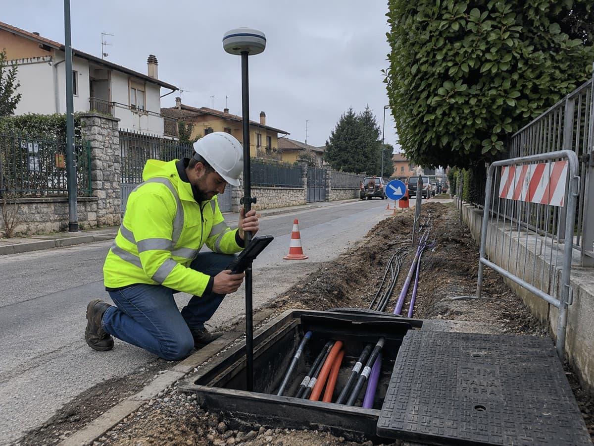
RTK.bz for utilities and fiber networks
From the trench to the GIS, without reworking coordinates.
“I need to record manholes, cabinets and drops during excavation, with coordinates ready to export in the format my GIS expects — without reworking everything back at the office.”
Operational outcome
- —Less rework between field and office
- —Direct export to QGIS/GIS format
- —Traceable coordinates for manholes, cabinets, ducts and drops
- —Georeferenced photo aligned to the field coordinate
Infrastructure, not just corrections
Built into your product.
RTK.bz brings provisioning, connectivity, corrections, monitoring and support into one stable layer. Customers use your machine and software; the positioning infrastructure works quietly underneath.
- Device provisioning
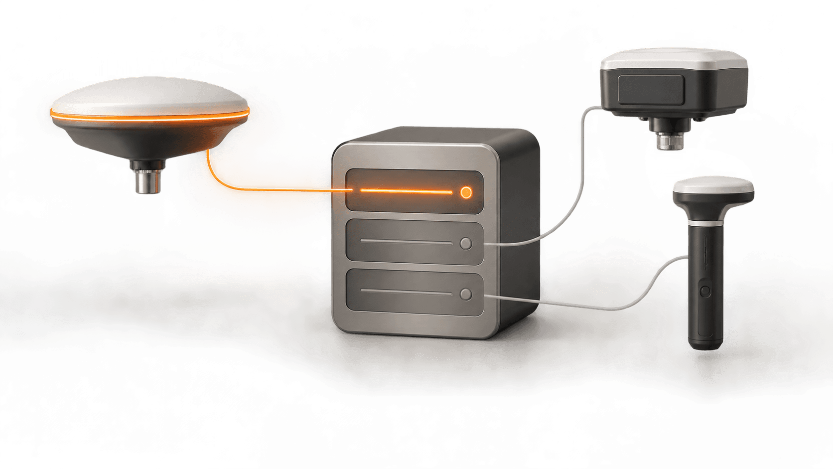
- Fleet management
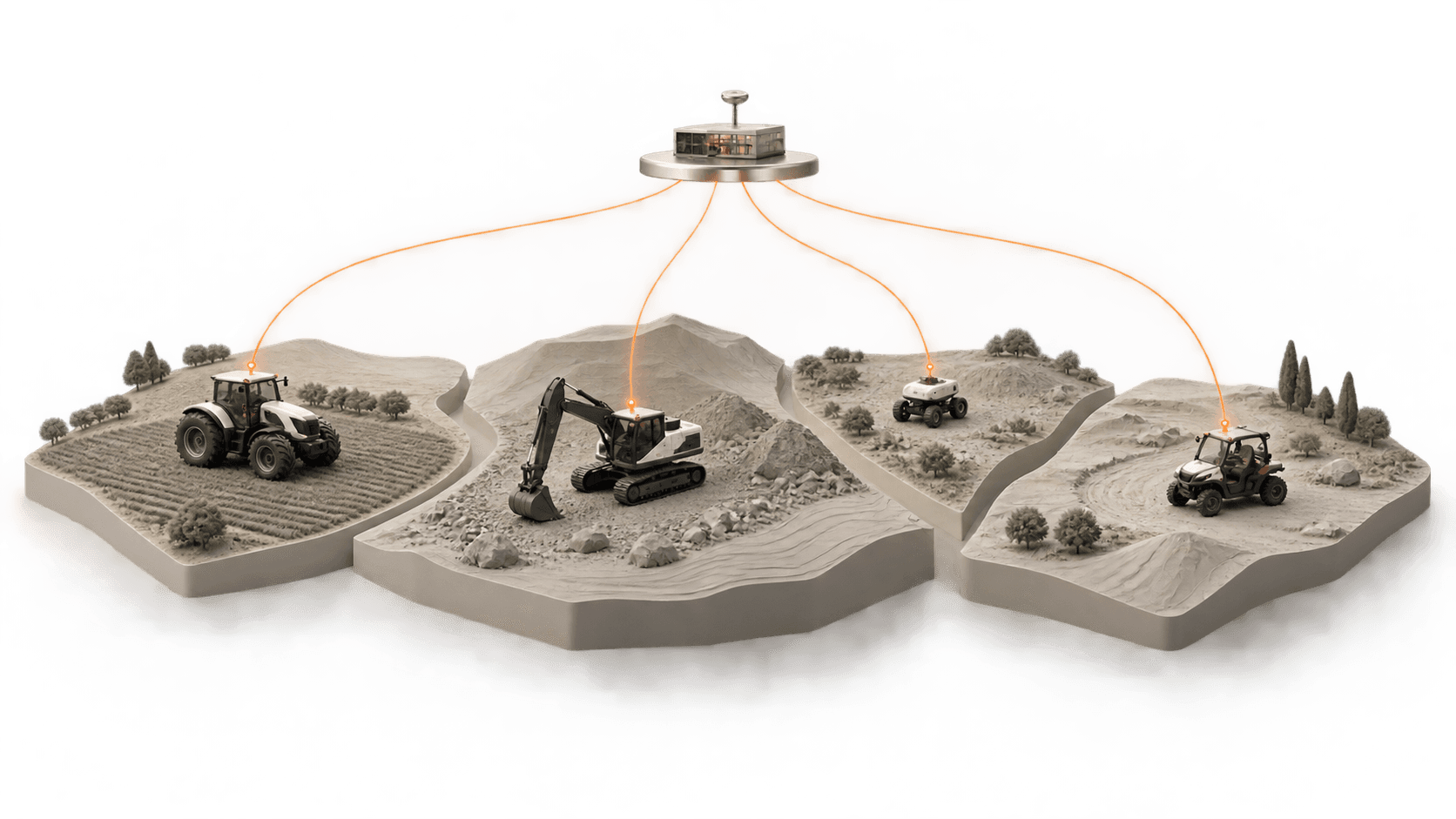
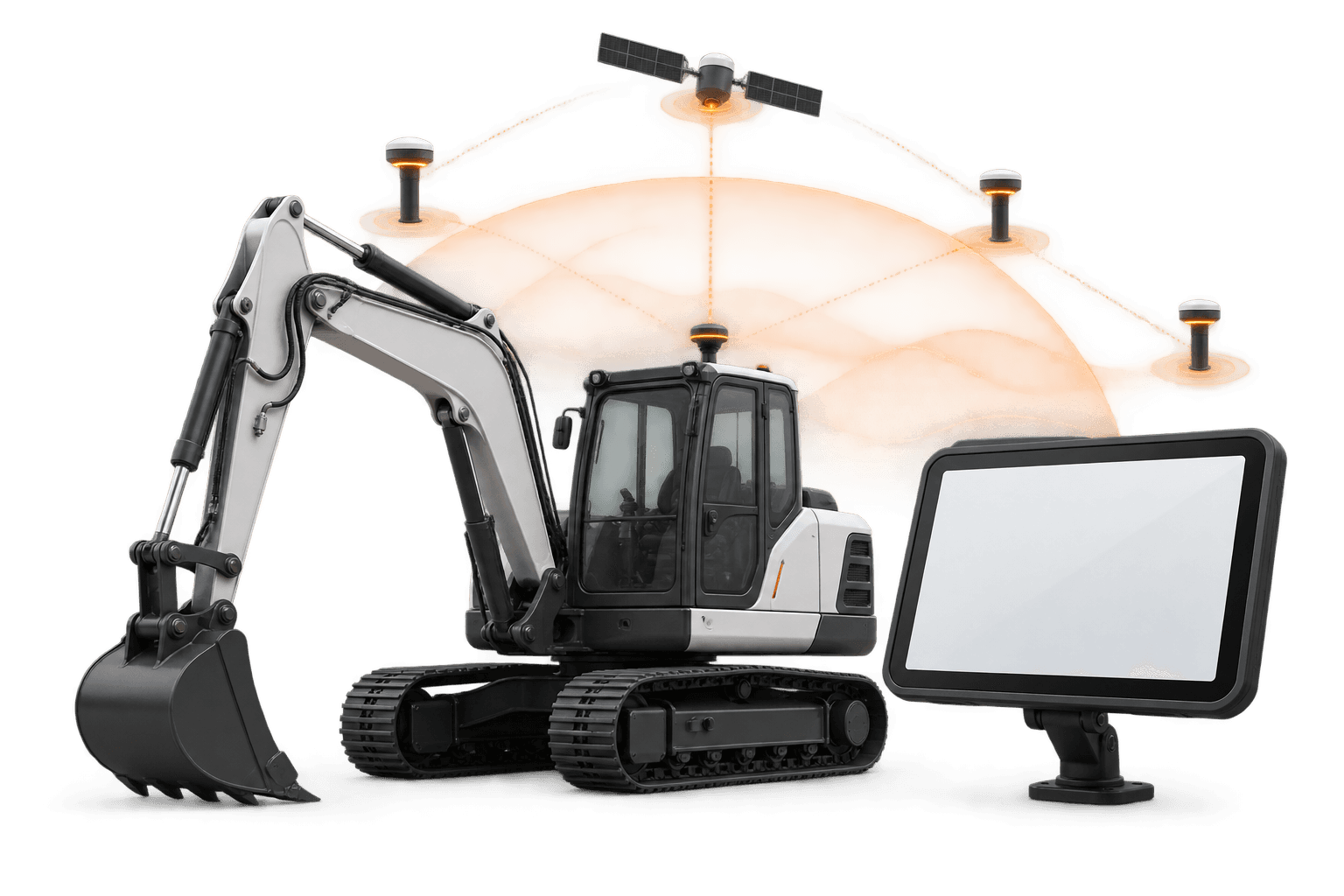
- API and NTRIP/RTCM
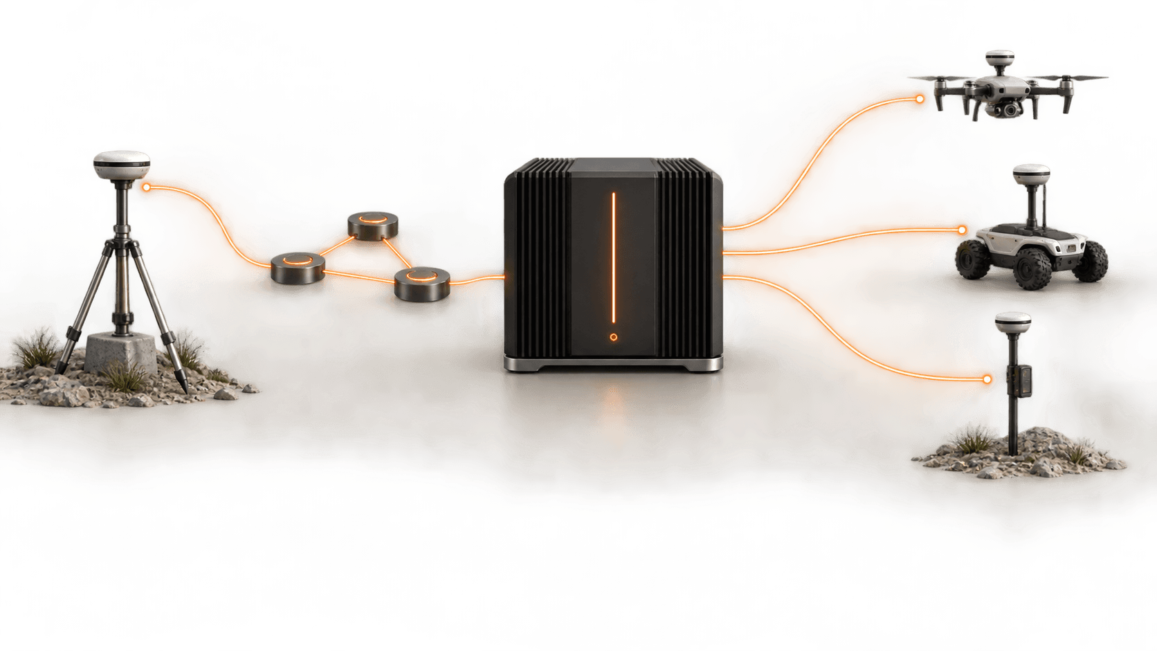
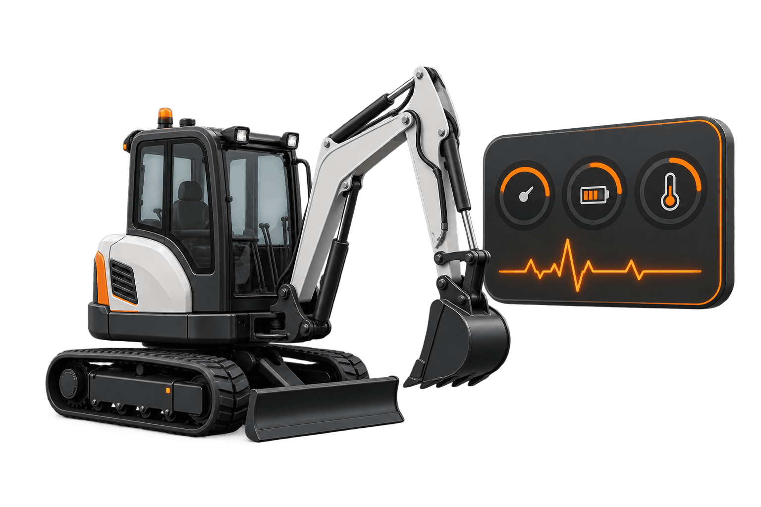
- Operational monitoring
- White-label service
- Continuity strategies
Use cases
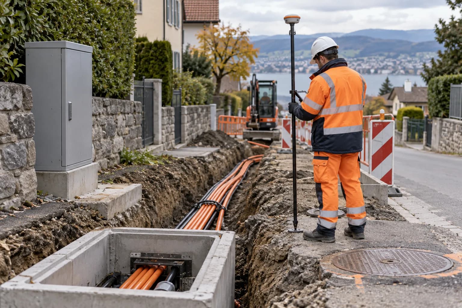
Fiber installation with open trench
Recording manholes, cabinets and drops during excavation, with photo and coordinate ready for export.
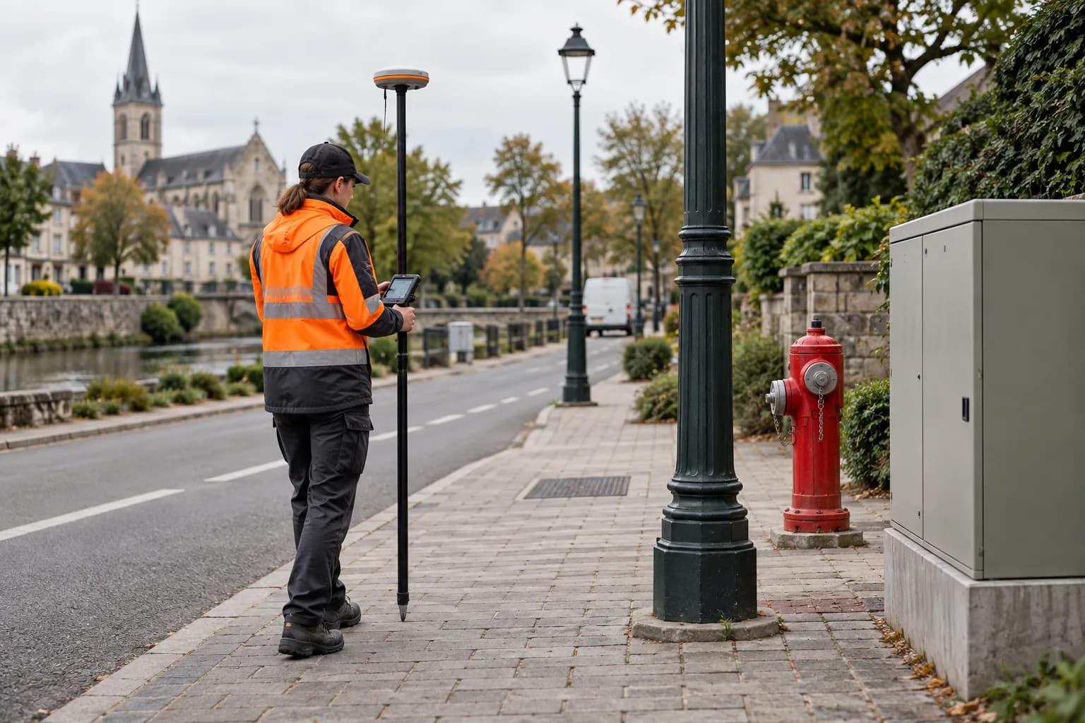
Digitization for small municipalities
Field data collection for municipalities that need to produce or digitize their own infrastructure register.
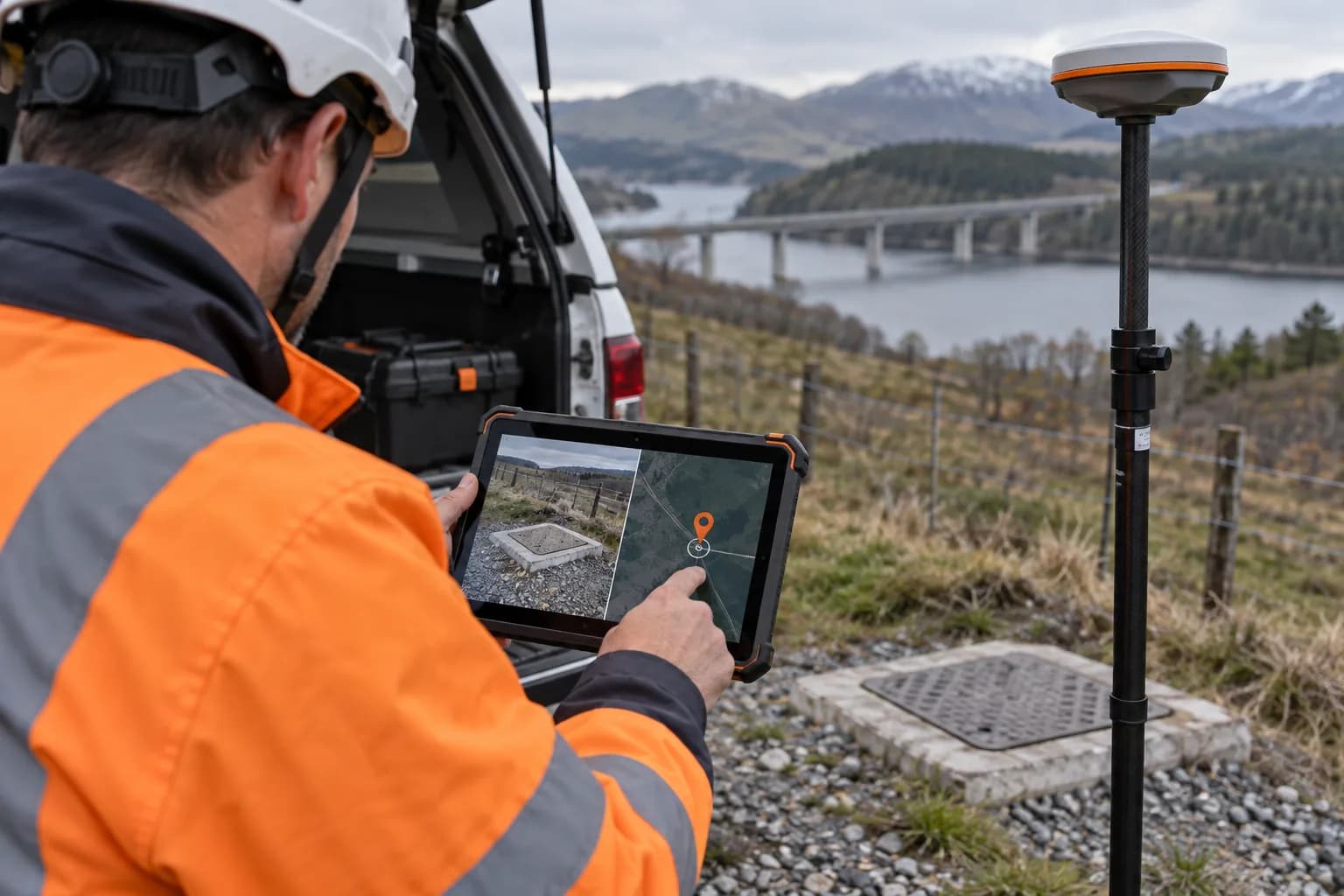
QA before data delivery
Coordinate and photo quality checklist before delivering the data to the client or authority.
What we verify before you start
- ✓RTCM/NTRIP compatibility confirmed for your receiver/controller
- ✓RTK does not locate the buried cable — GPR survey and safety procedure remain necessary
- ✓QGIS/GIS export profiles tested, not just promised
- ✓We don't guarantee automatic conformance to the authority's required format — we verify together before starting