01
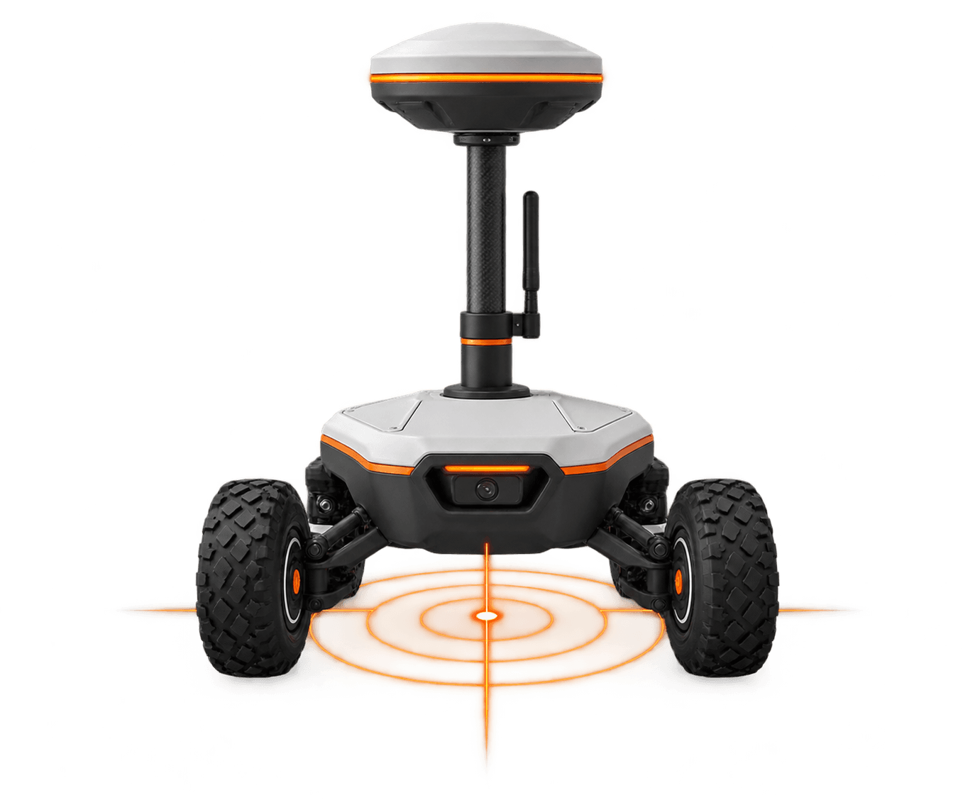
Repeatable tracks and surveys
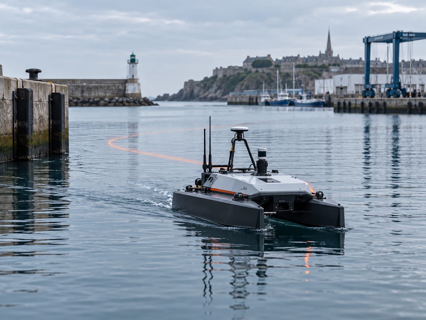
Positioning for work on water
A positioning service for vessels, sensors and platforms integrating reliable corrections into nearshore workflows.
What it enables
Repeatable tracks and surveys
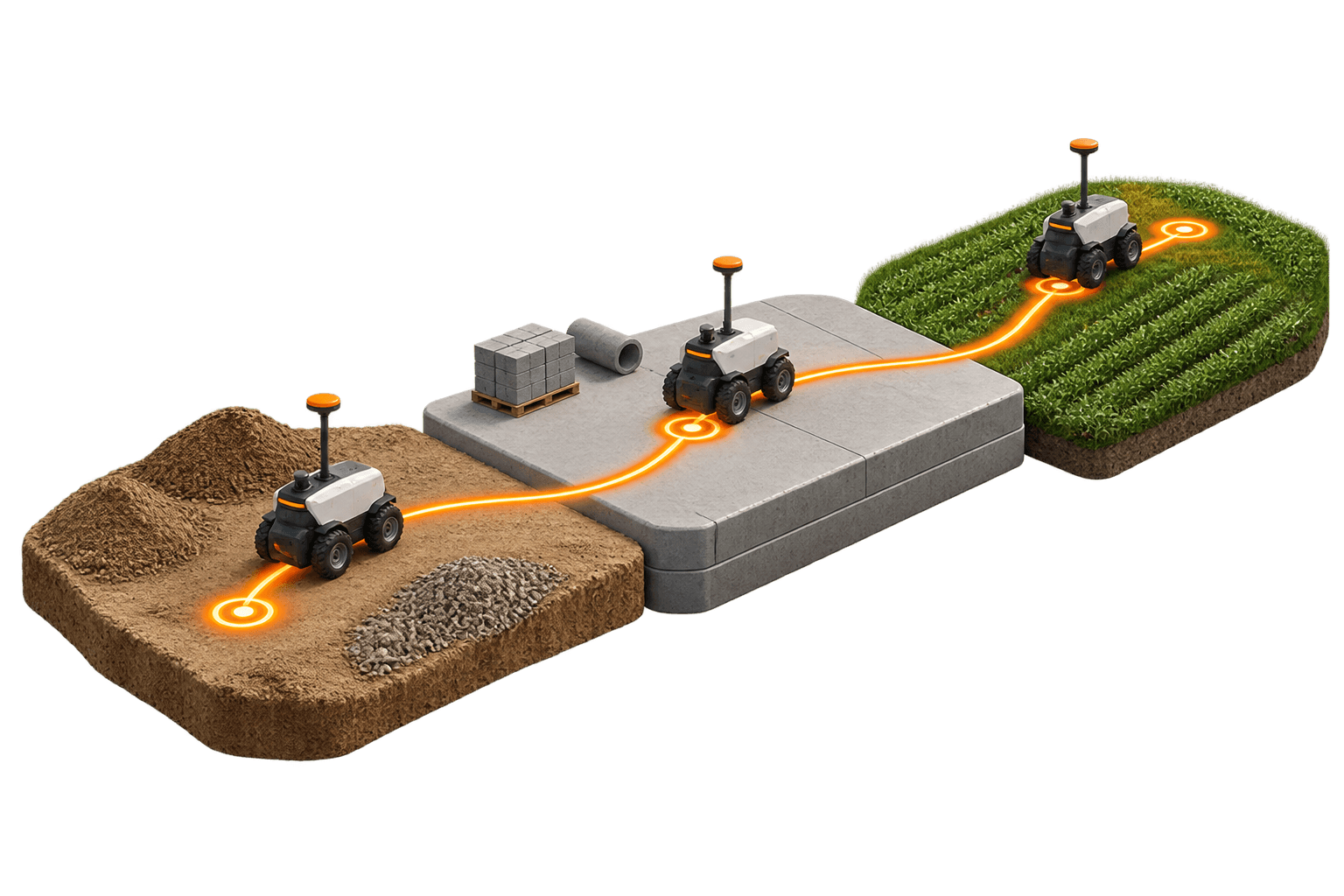
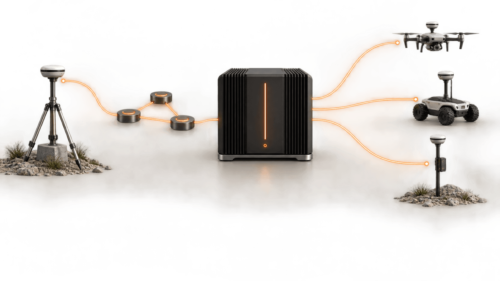
One configuration across sensors
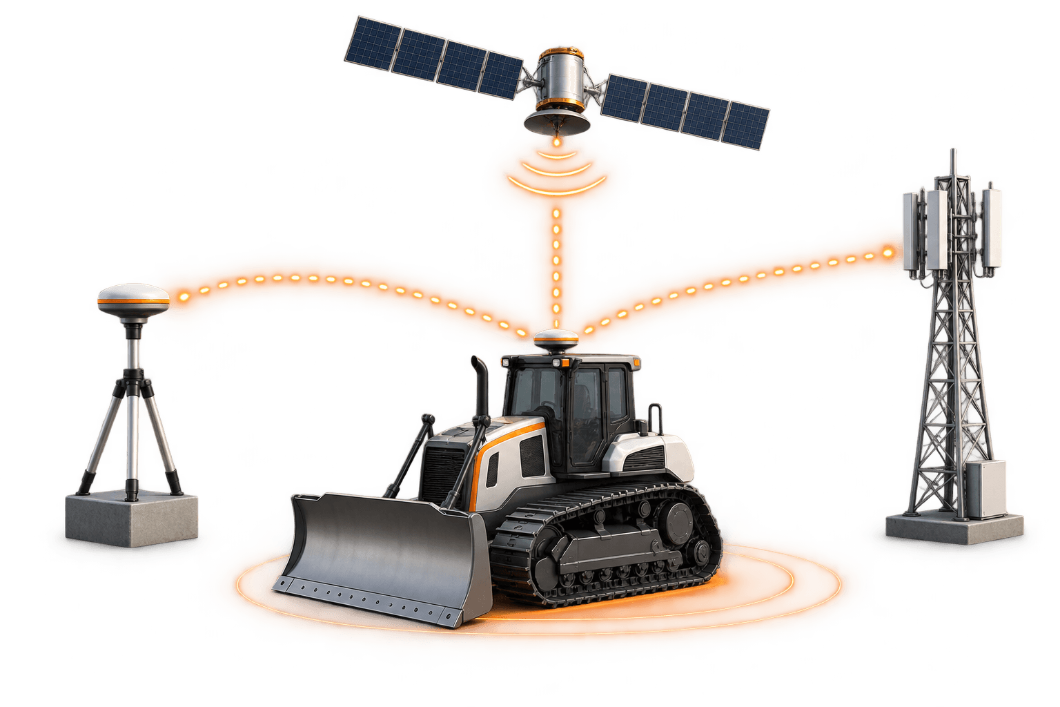
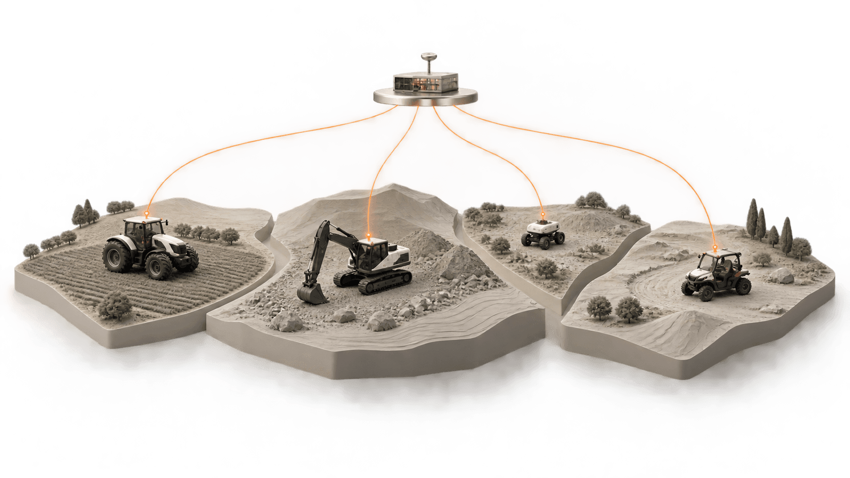
Activation across ports and sites
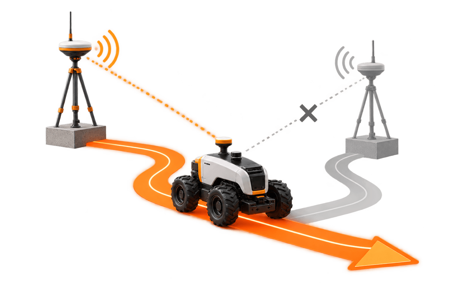
Position quality monitoring
Applications
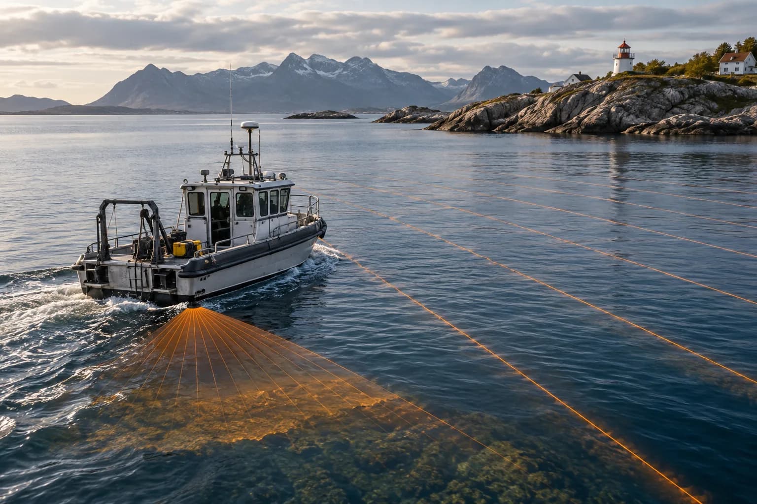
Position for echo sounders, USVs and bathymetric campaigns in coastal areas.
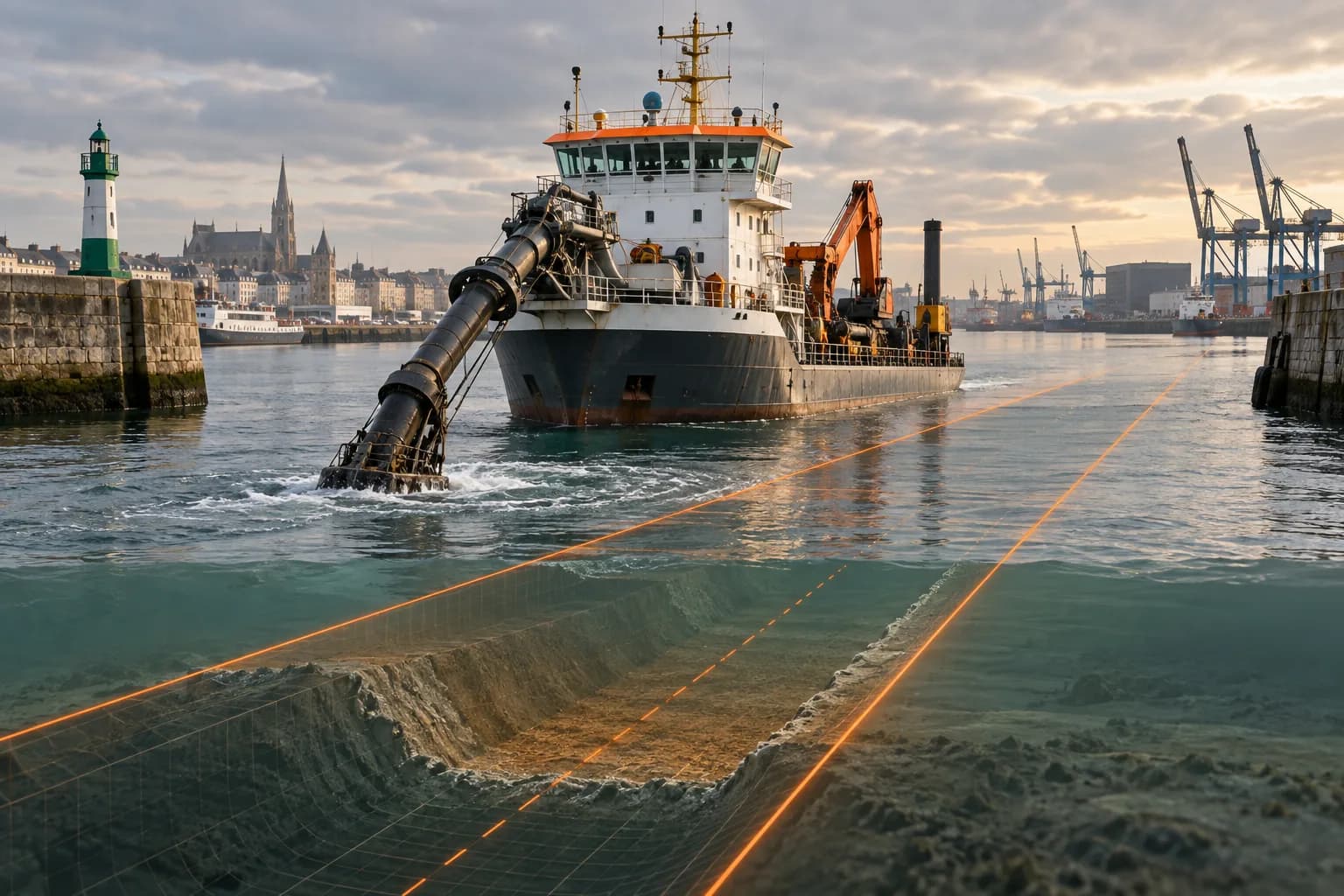
Guidance and verification near port infrastructure.
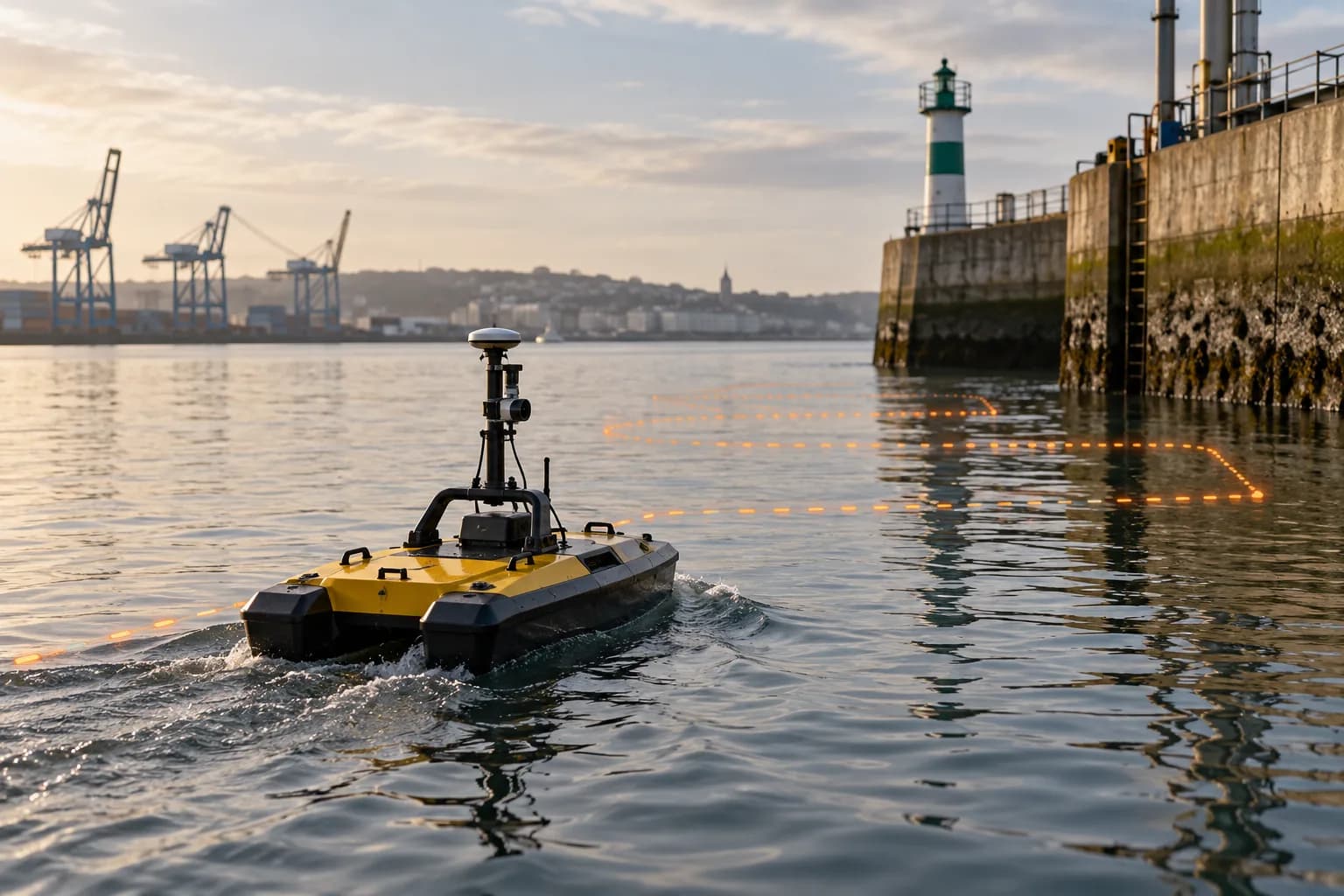
Navigation for autonomous or remotely operated platforms on repeatable missions.
OEM / B2B
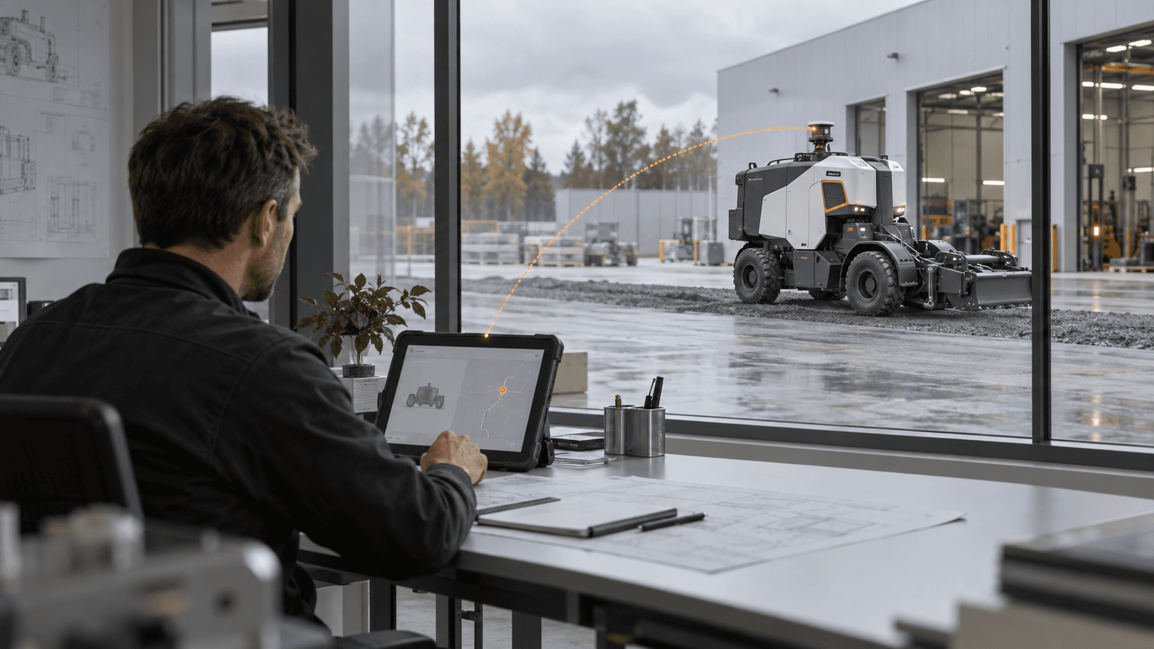
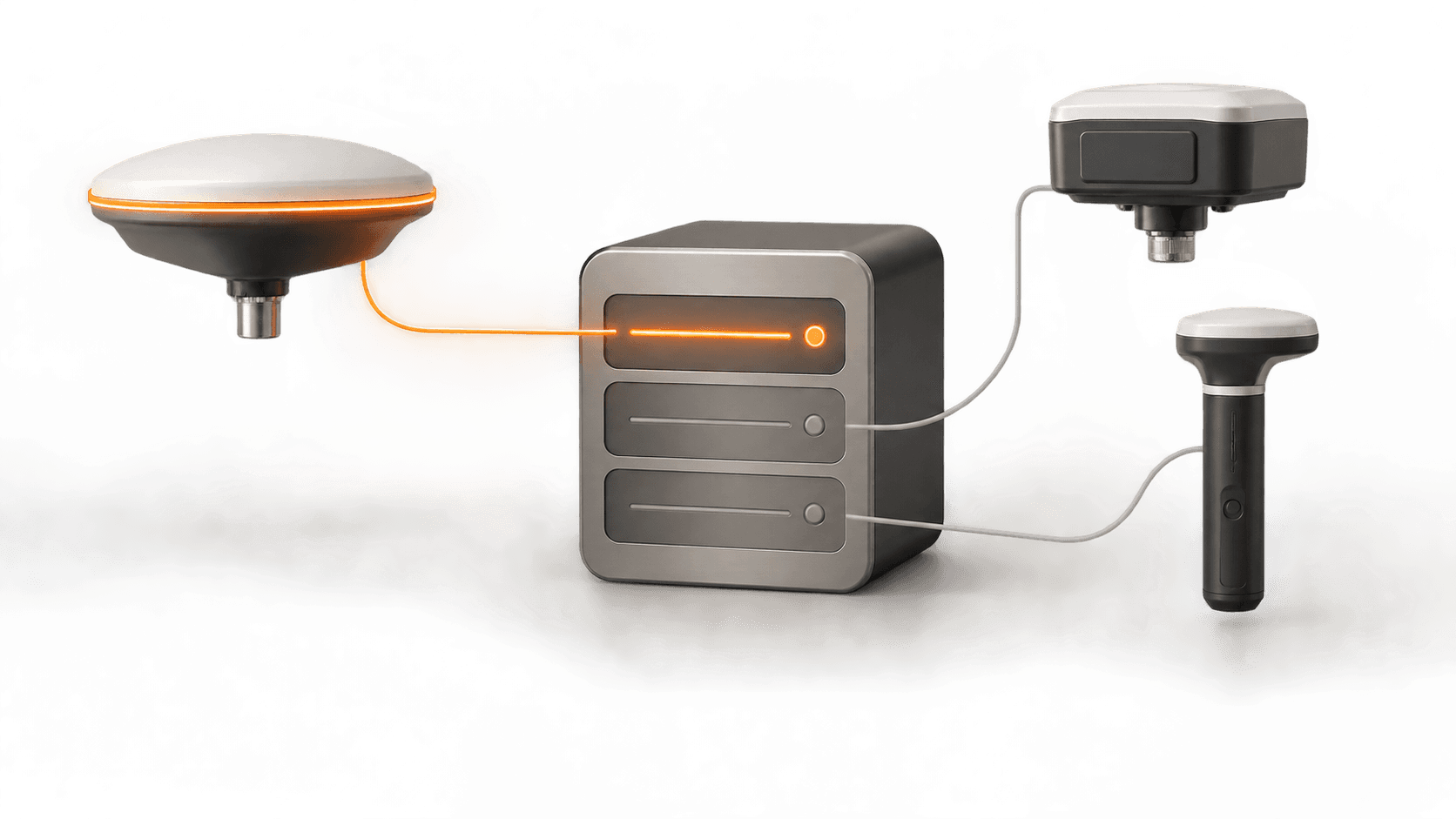
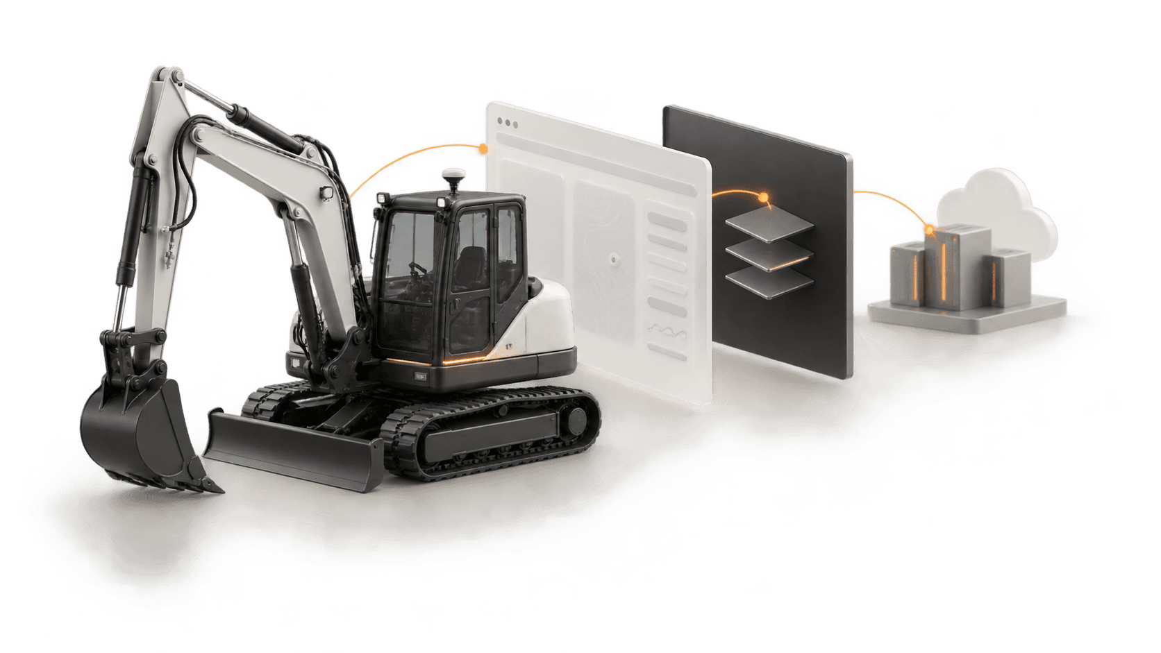
RTK.bz keeps corrections, provisioning, monitoring and support behind the manufacturer’s own machine and software experience.
What we validate
Actual precision and availability depend on environment, hardware, connectivity and configuration. We validate them against the real use case before activation.
Start with the machine, route and operational outcome. We will shape the positioning architecture around them.
Discuss your application