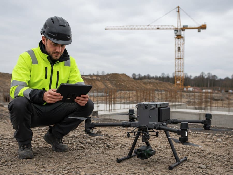
RTK.bz for drones
Less time preparing the field. More deliverable flights with verifiable position.
“I need to start the mission with reliable position, deliver comparable data between campaigns, and reduce time lost on ground control and troubleshooting in the field.”
Operational outcome
- —Less crew time on the ground
- —More missions per day
- —Lower risk of re-flying or reprocessing
- —Comparable data across dates
- —Mission quality traceability
Infrastructure, not just corrections
Built into your product.
RTK.bz brings provisioning, connectivity, corrections, monitoring and support into one stable layer. Customers use your machine and software; the positioning infrastructure works quietly underneath.
- Device provisioning
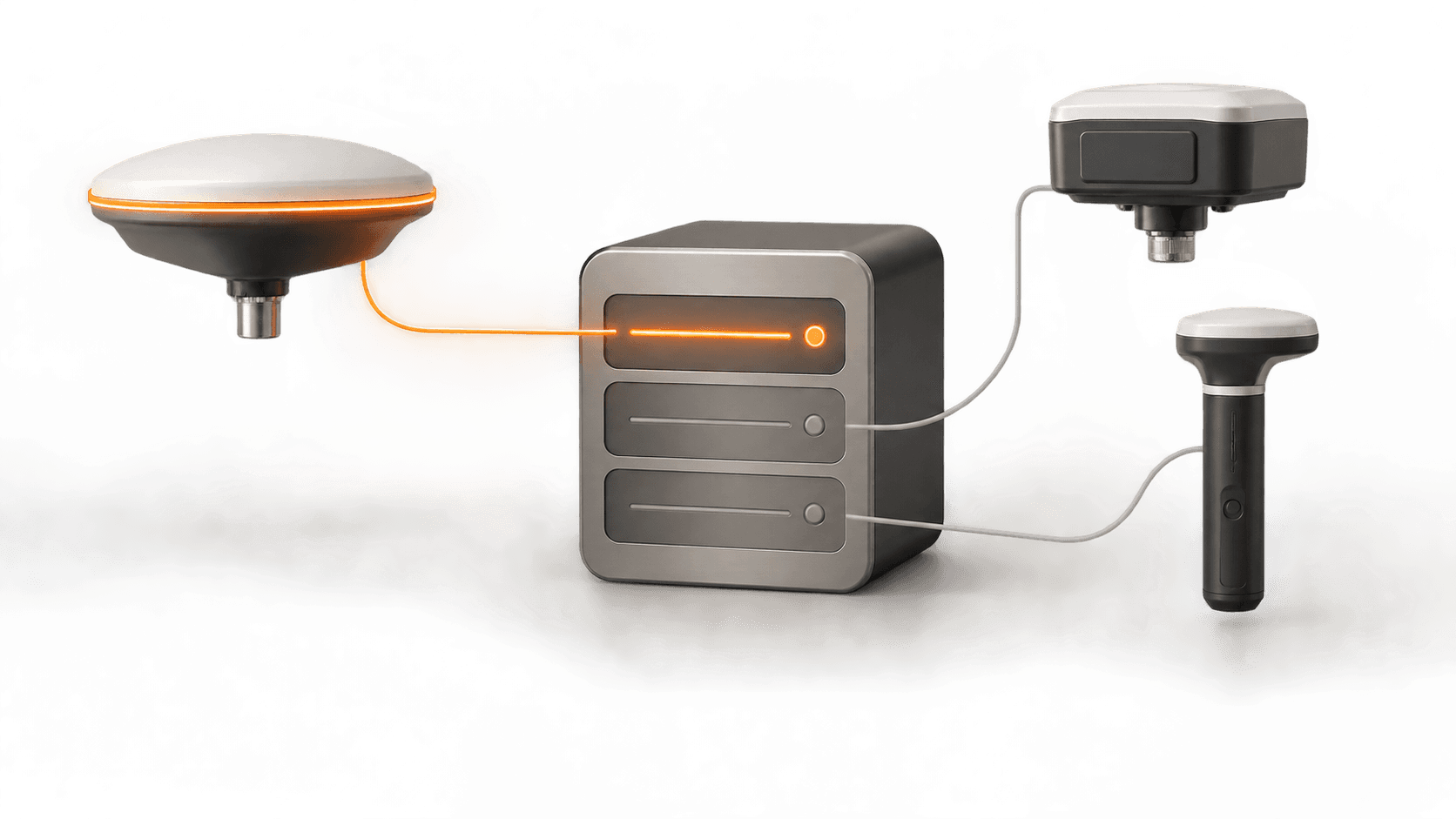
- Fleet management
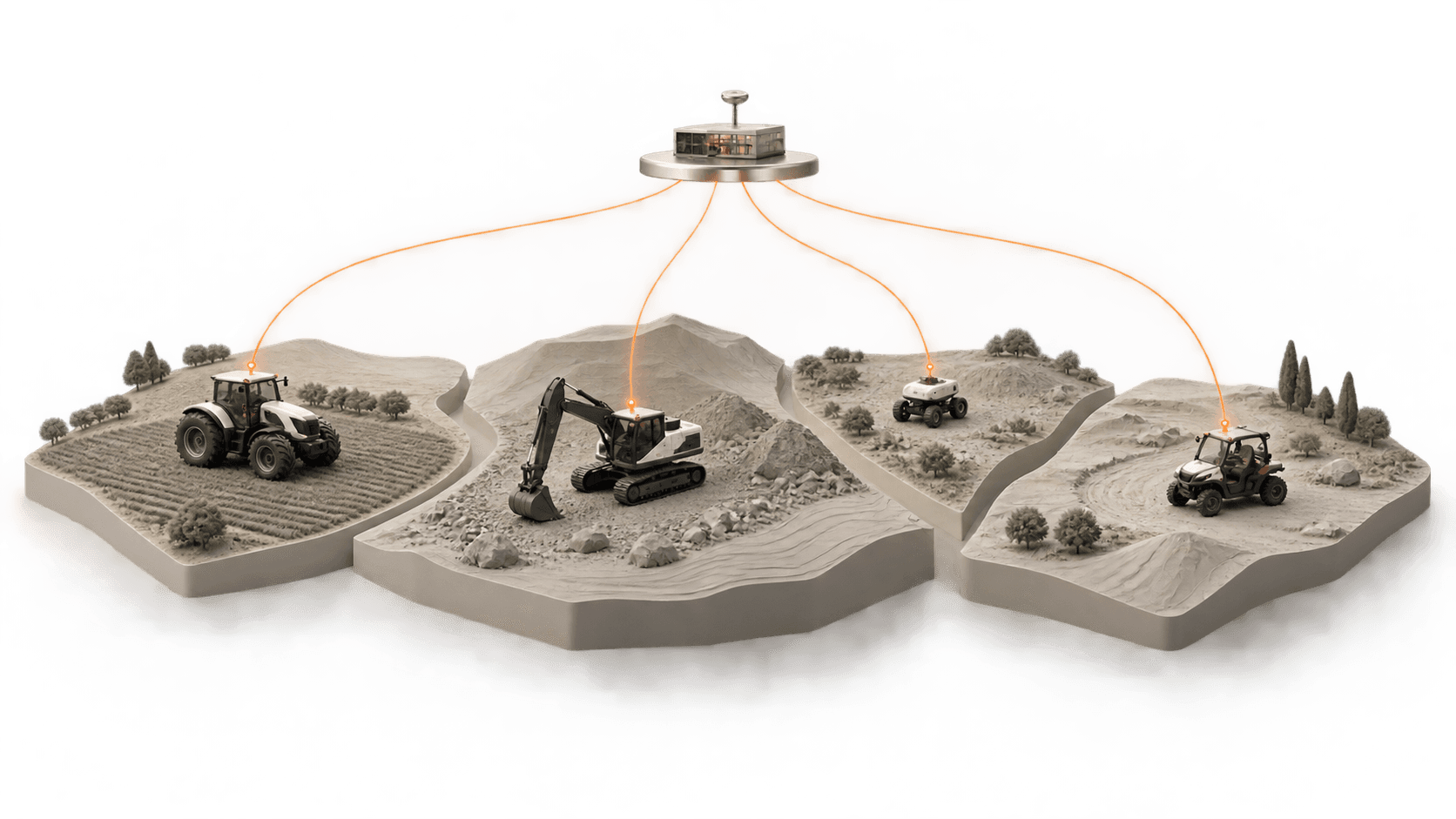
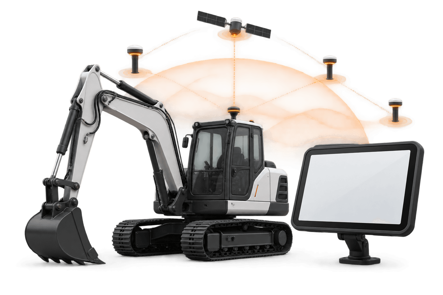
- API and NTRIP/RTCM
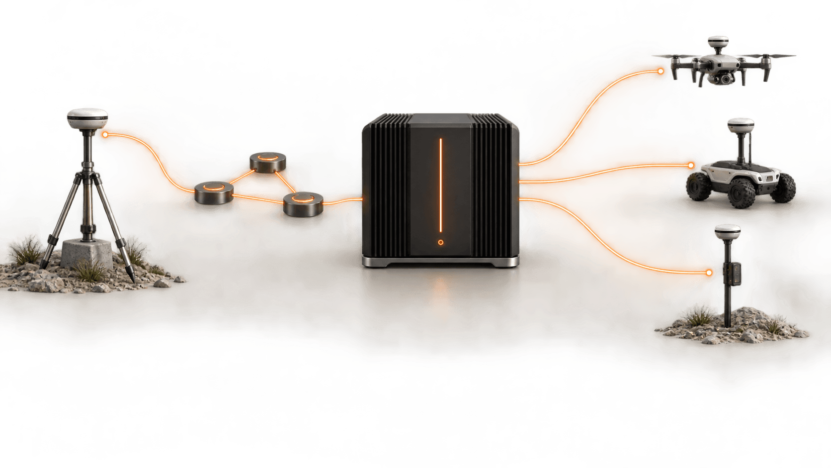
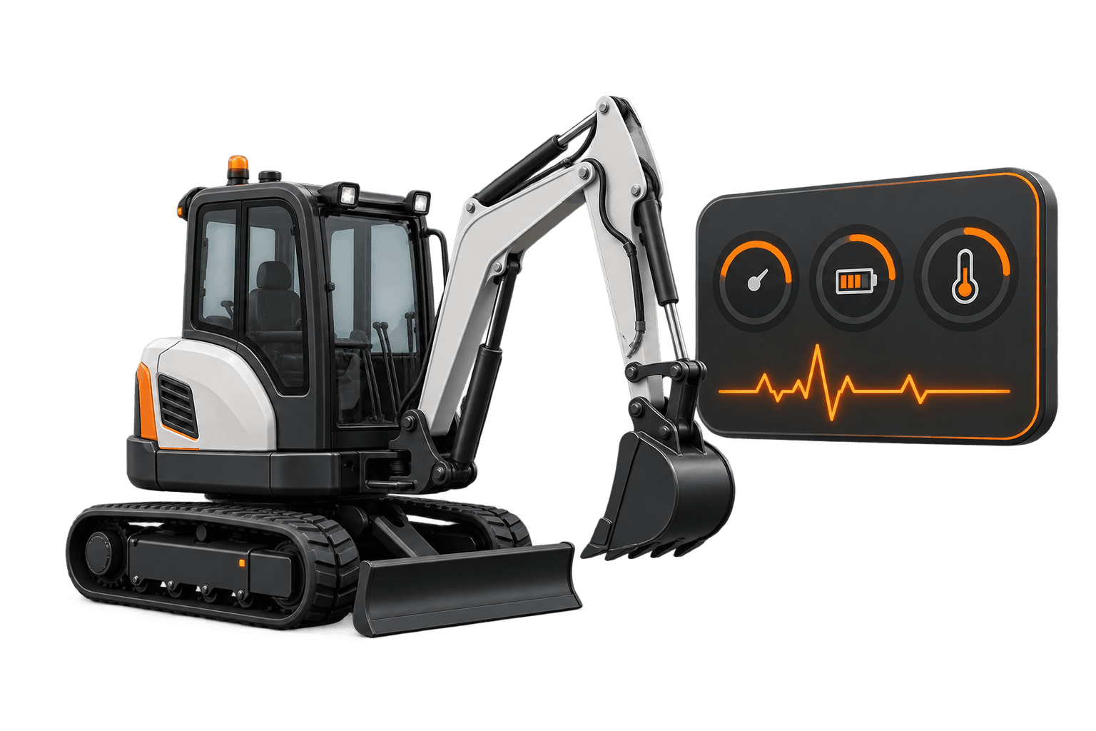
- Operational monitoring
- White-label service
- Continuity strategies
Use cases
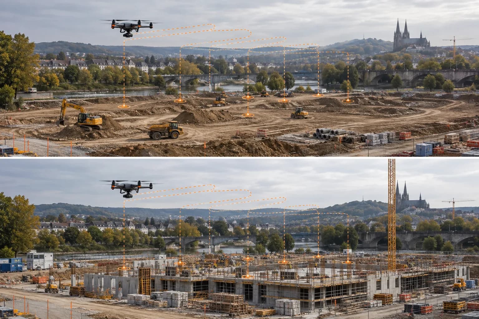
Recurring construction site
Periodic flyovers with consistent georeferencing and checkpoint validation, reducing prep time.
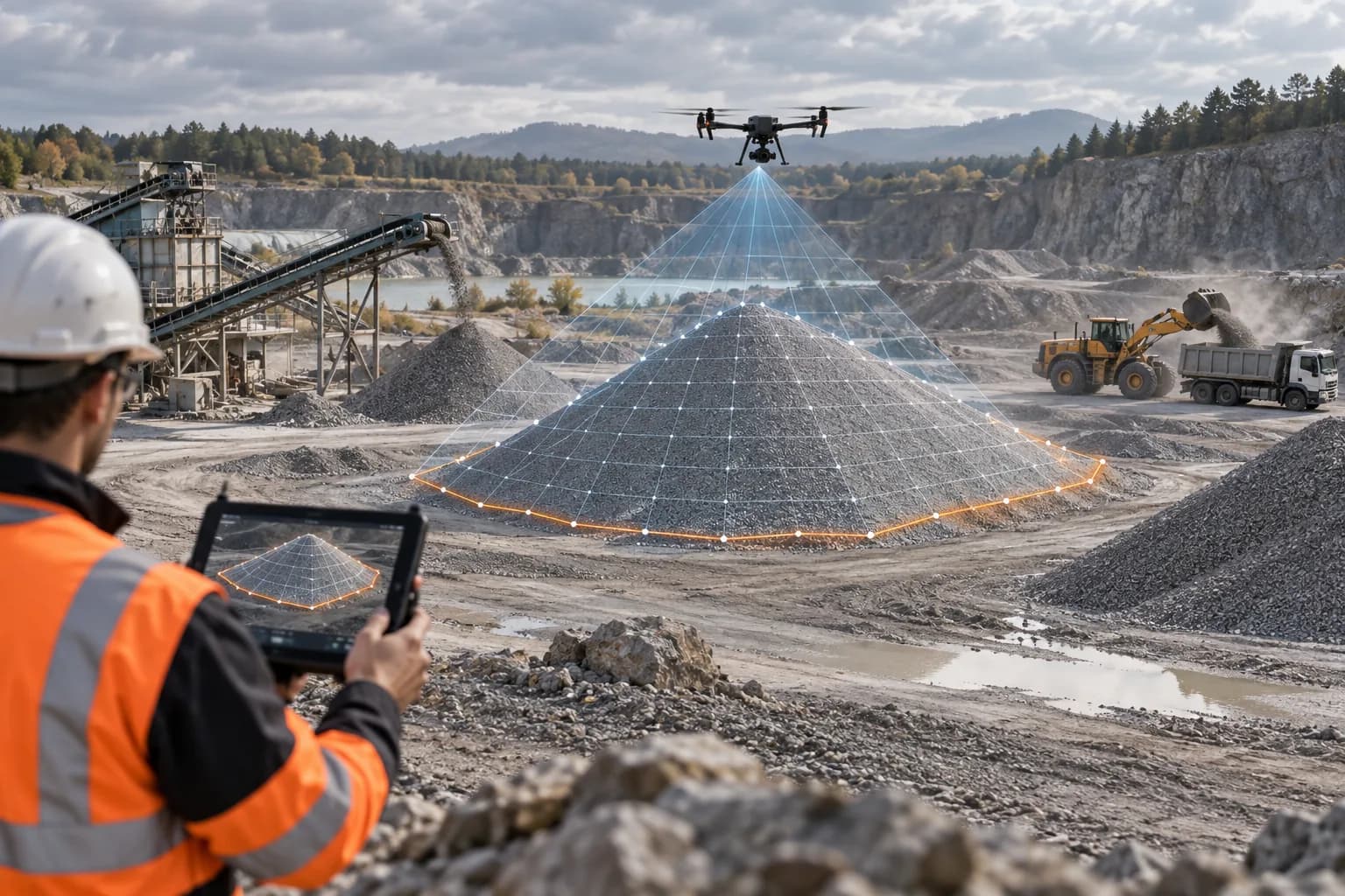
Volume and material stockpiles
Fast campaigns for piles, quarries and earthmoving, with mission position quality logging.
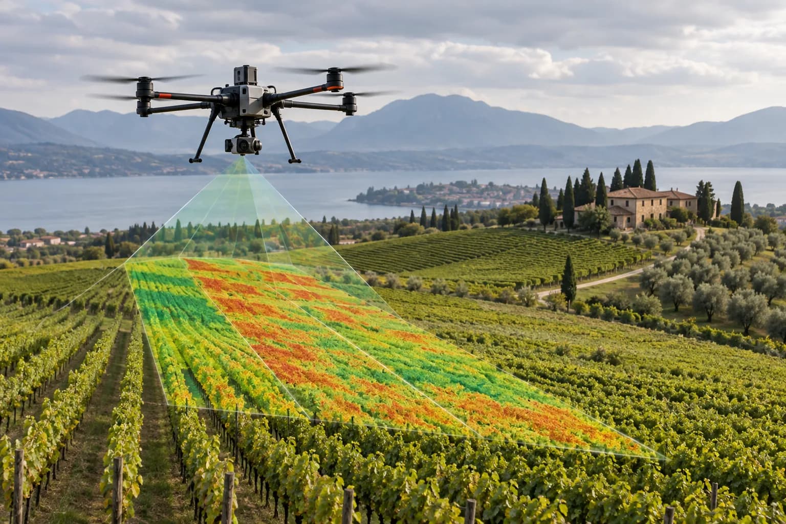
Agricultural mapping
Orthophotos and multispectral indices aligned to future application, sampling or robotics operations.
What we verify before you start
- ✓RTCM/NTRIP compatibility confirmed for your equipment (DJI, CHC, Emlid, XAG and others)
- ✓Availability, FIX and latency metrics for your area
- ✓Mission checklist and checkpoint recommendations